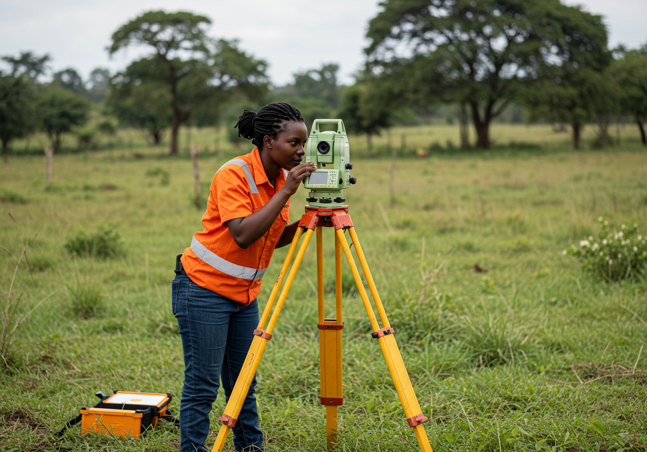
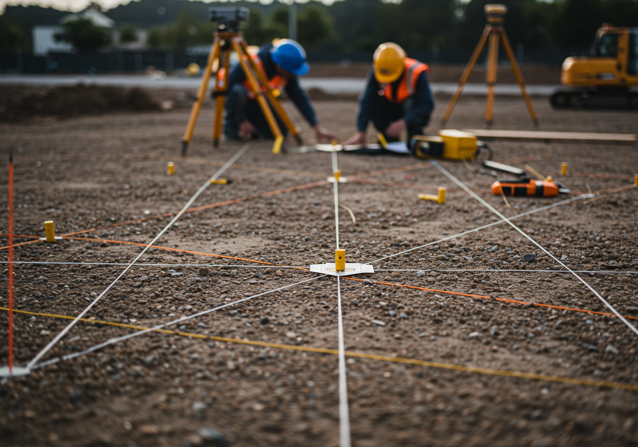
Surveying Services
Our Surveying Services are designed to support smart planning, informed decision-making, and precise execution across construction, development, infrastructure, and land management projects. We use the latest equipment and geospatial technologies to provide accurate, reliable data that meets both legal and technical standards.
We provide professional land surveying services for residential, commercial, agricultural, and industrial properties. Our certified surveyors deliver clear, accurate mapping to guide property development and legal documentation. Our quantity surveying team ensures your projects remain financially viable from start to finish. We manage project costs, procurement processes, and contract administration with transparency and control.
From boundary identification to full-scale topographic and construction layout surveys, Munashe Group provides data you can build on.